You have results for ''
Sorry, no results for ''
-
Read more
1 October 2024
Company updates
Respira and Palladium join forces to launch nature-based carbon credit funds
Read more -
Read more
19 September 2024
Company updates
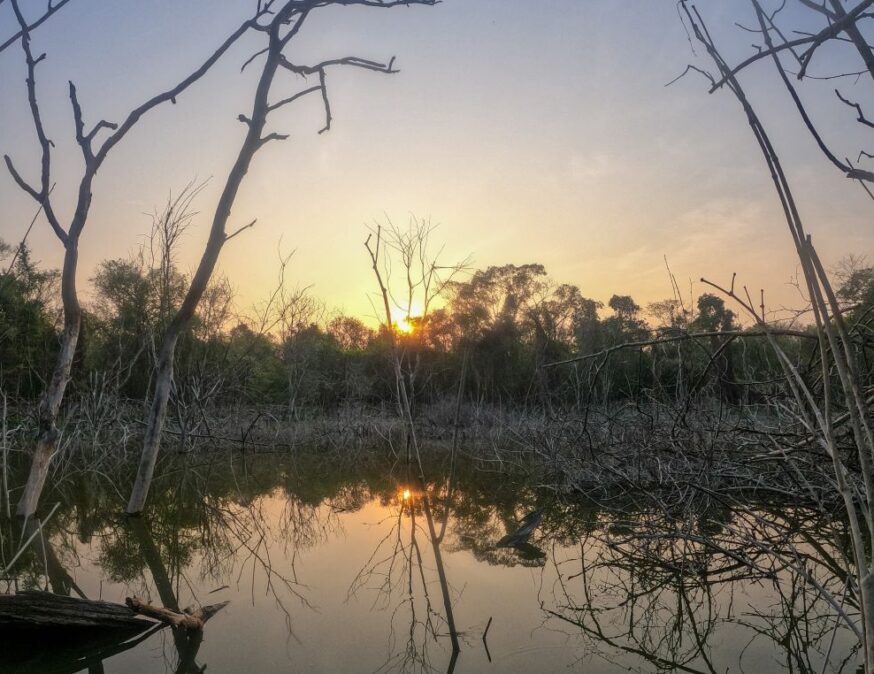
Conhuas: A community-led journey to climate resilience and forest conservation
Read more -
Read more
19 September 2024
Press releases
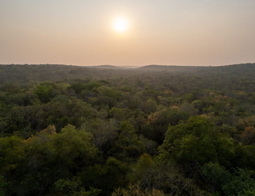
Respira agrees five year deal with Toroto for Conhaus project in Mexico to fund the removal of two million tonnes of carbon
Read more -
Read more
18 September 2024
Company updates
Respira welcomes a new campaign, Reduce and Invest, to the carbon market
Read more -

Read more
12 September 2024
Thought leadership
Why Climate Week NYC is critically important to the data centre ecosystem
Read more -
Read more
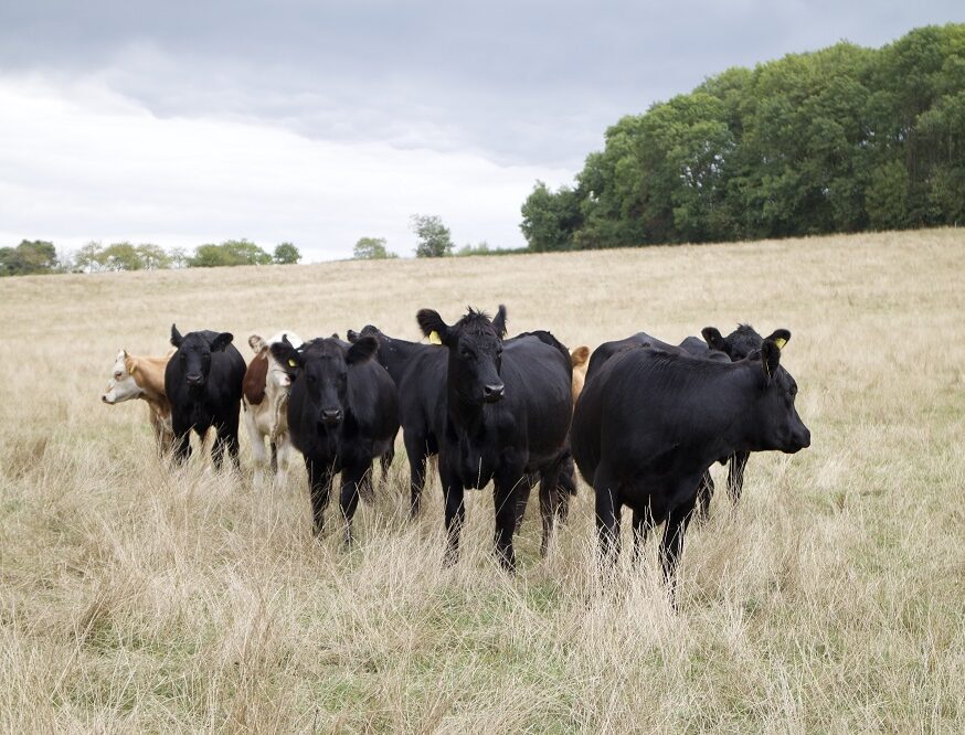
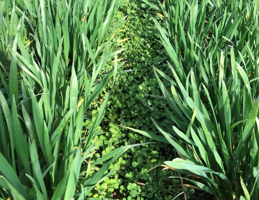
1 July 2024
Company updates
Mercedes-AMG PETRONAS Formula One purchases carbon credits from Blaston Regenerative Farm
Read more -
Read more
9 May 2024
Project news
Blaston Regenerative Farming: Healthy soils store more carbon
Read more -
Read more
8 May 2024
Project news
Blue Carbon: Chris Villiers and Nadeem Khan join Argus Media’s podcast
Read more -
Read more
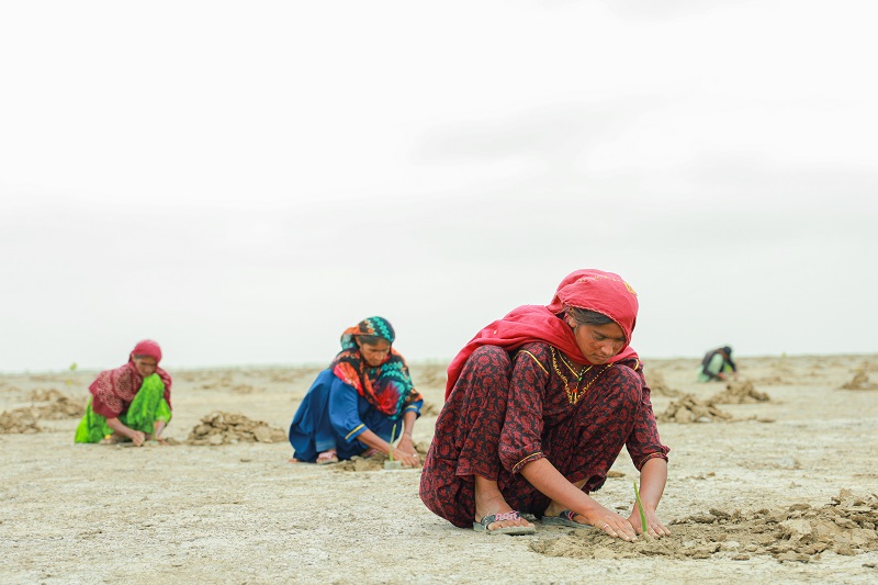
30 April 2024
Project news
Delta Blue Carbon: The world’s largest mangrove project
Read more -
Read more
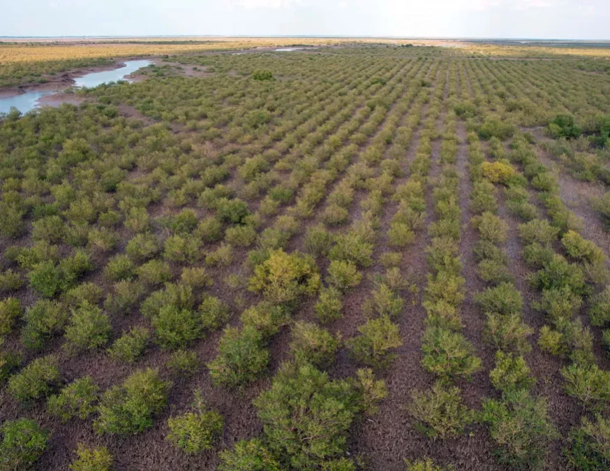
26 April 2024
Project news
Burapha Agroforestry: A nature-based climate solution
Read more -

Read more
23 February 2024
Tech in action
Capture6 in Action: How Ethan Cohen-Cole and his team remove carbon dioxide from the atmosphere
Read more -

Read more
22 December 2023
Press releases
PRESS RELEASE: Spinnaker Capital makes strategic investment in carbon finance pioneer Respira International
Read more