You have results for ''
Sorry, no results for ''
-
Read more
11 February 2025
Project news
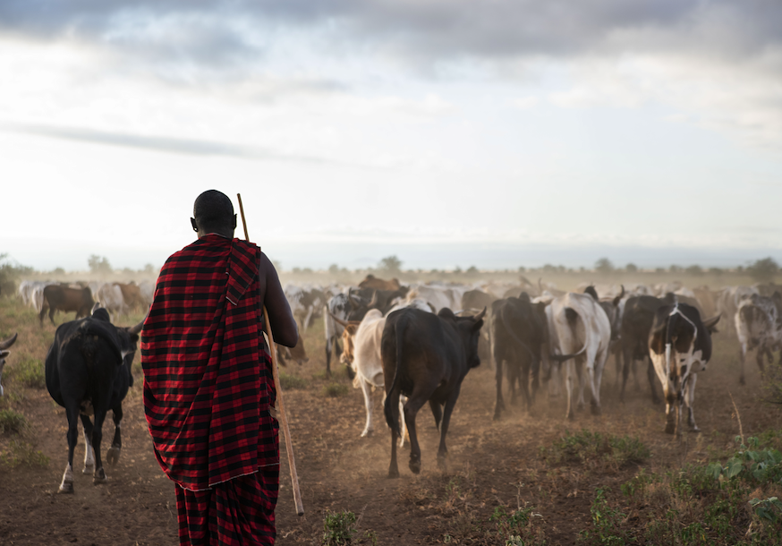
Indigenous Peoples and local communities: How can carbon credits support sustainable development?
Read more -
Read more
21 January 2025
Project news
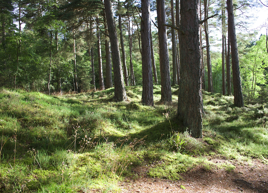
Conservation vs restoration: What are REDD and ARR? And why do we need both?
Read more -

Read more
7 January 2025
Project news
Article 6.4 promises a new dawn for carbon markets, but how will it work in practice?
Read more -
Read more
12 December 2024
Project news
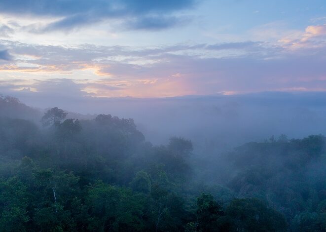
The RSPB’s Gola Rainforest Conservation Project delivers beyond carbon. Here’s how
Read more -
Read more
19 November 2024
Project news
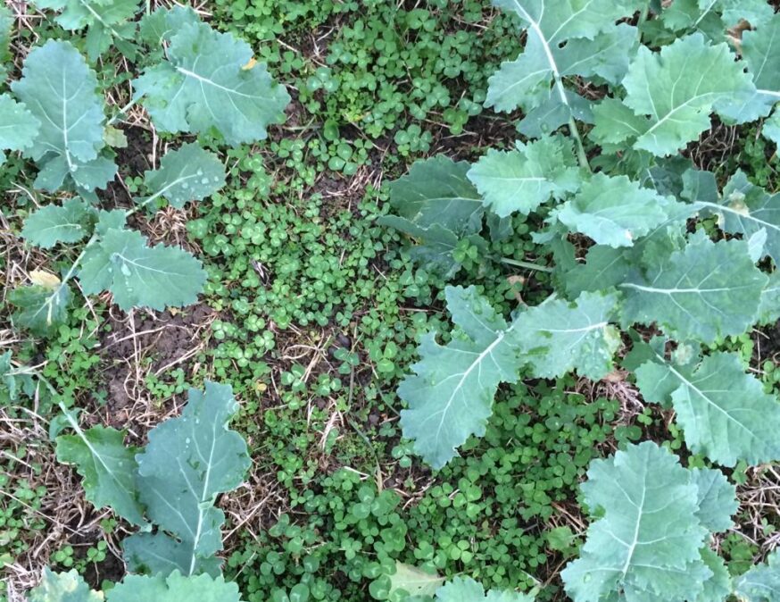
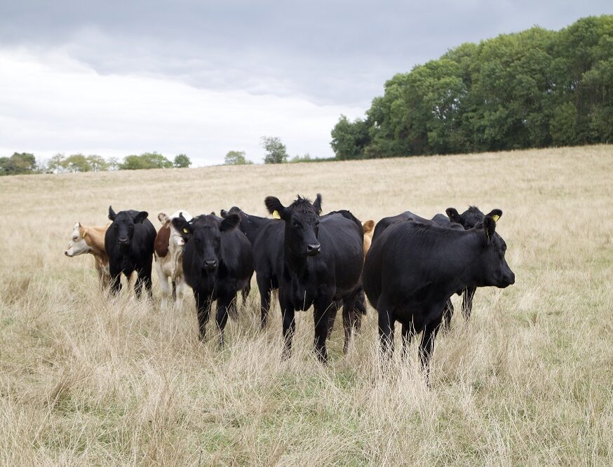
What’s new at our Blaston Regenerative Agriculture project?
Read more -
Read more
1 October 2024
Company updates
Respira and Palladium join forces to launch nature-based carbon credit funds
Read more -
Read more
19 September 2024
Company updates
Conhuas: A community-led journey to climate resilience and forest conservation
Read more -
Read more
19 September 2024
Press releases
Respira agrees five year deal with Toroto for Conhaus project in Mexico to fund the removal of two million tonnes of carbon
Read more -
Read more
18 September 2024
Company updates
Respira welcomes a new campaign, Reduce and Invest, to the carbon market
Read more -

Read more
12 September 2024
Thought leadership
Why Climate Week NYC is critically important to the data centre ecosystem
Read more -
Read more
1 July 2024
Company updates
Mercedes-AMG PETRONAS Formula One purchases carbon credits from Blaston Regenerative Farm
Read more -
Read more
9 May 2024
Project news
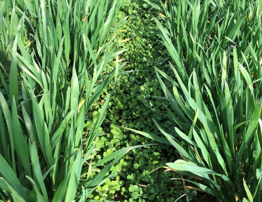
Blaston Regenerative Farming: Healthy soils store more carbon
Read more